Electronic Chart Centre:
Enabling the future of digital maritime navigation
Developing tools and services to enhance safety at sea.
Developing tools and services to enhance safety at sea.
We are the technological and strategic partner of the Norwegian Mapping Authority for the delivery of PRIMAR, a leading regional electronic chart coordinating centre.
With a global database of over 20,000 charts, PRIMAR supports safe navigation by delivering high-quality electronic navigational charts (ENCs) and other navigational data to maritime users worldwide.

We are leading experts on the S-100 hydrographic data model, working closely with producers and equipment manufacturers to enable an efficient transition in line with IHO timelines. This is a key step in integrating the hydrographic domain with broader maritime information, enabling a new generation of products and applications for e-navigation and enhanced safety at sea.
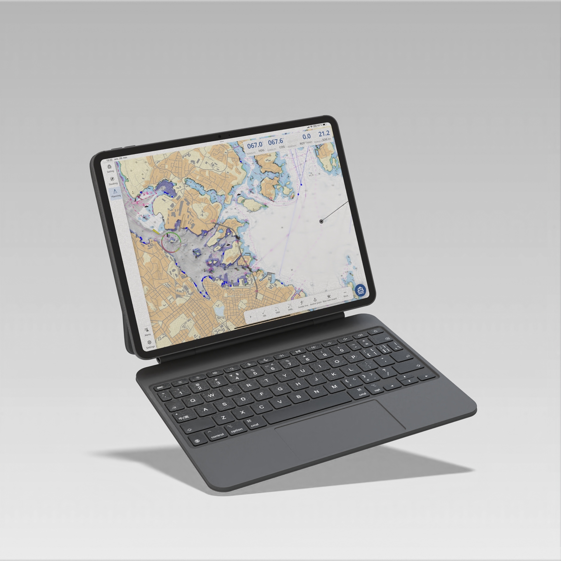
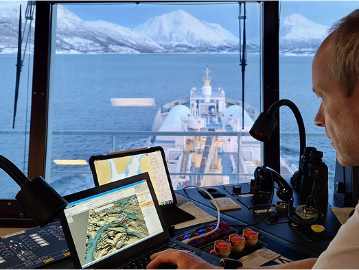
In collaboration with the Norwegian Coastal Administration (NCA), ECC is developing KystKart, a next-generation digital solution tailored for maritime pilots operating along Norway’s challenging coastline.
The system is designed to provide pilots with real-time decision support before, during and after a voyage, combining key layers of navigational data such as AIS and sensor information. Support for official ENC data and weather integration is planned as part of the ongoing development.
KystKart builds on ECC’s longstanding experience in delivering maritime infrastructure and navigation services, particularly through our role in operating the international PRIMAR service. The strong cooperation between ECC, PRIMAR and the Hydrographic Service of the Norwegian Mapping Authority (Kartverket) ensures streamlined access to authoritative chart data and other critical geospatial layers.This collaboration creates a natural synergy between key actors in maritime safety - in which ECC serves as a trusted technology partner and connector. KystKart is an important step forward in strengthening operational decision making and enhancing safe and efficient navigation along the Norwegian coast.
.png)
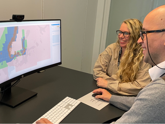
In collaboration with the Norwegian Coastal Administration (NCA) and the Norwegian Communications Authority (Nkom), we develop a web-based solution designed to analyze extensive AIS data streams and detect GPS disturbances along Norwegian waters.
This innovative service equips national vessel traffic service centres with critical insights into real-time vessel positions and an ability to identify disturbances and track events as they develop. The aim is to ensure maritime safety and operational efficiency.

Launched in 2010 as the first of its kind in Norway, NaVida delivers official electronic charts and high-quality land maps directly to your iOS device. Whether you are navigating the coast or hiking in Norway, NaVida provides easy access to authoritative data, offline maps, and real-time features like AIS and property information. The application is free to download from AppStore.
Designed for safety and situational awareness, NaVida combines reliable maritime information with essential tools like track logging and position sharing—ensuring you have the best data available, wherever your journey takes you.
Our latest thinking on the issues that matter most to the hydrographic and maritime communities.


We focus on developing tools and services used to enhance safety at sea.


ECC is a 100% governmentally owned, Norwegian company, specializing in leading digital maritime navigation solutions. Established to enhance safety and efficiency at sea, we deliver trusted hydrographic data services and digital infrastructure that supports sustainable and standardized navigation worldwide.
Through our work with international partners, hydrographic offices and the maritime industry, we contribute to the development and implementation of global standards and next-generation services – ensuring that digital navigation is reliable, interoperable and ready for the future.